
Aerial Survey & Mapping
Our drone data collection services help surveyors and mappers save time, money, and resources. Make informed decisions with precise data at an affordable cost.
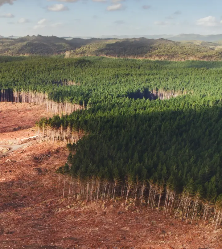
Drone Mapping Services
BENEFITS
Maximize data collection potential with drones for precise and detailed information in less time and with reduced risks.
Aerial imaging data for accurate decisions
Enhanced Precision
Capture high-resolution imagery and accurate topographic data with advanced drone technology.
Time Efficiency
Survey large areas much faster than traditional methods on the ground. Cover up to 700 acres in a day!
Risk Mitigation
Eliminate the need for human intervention in hazardous terrains, enhancing the safety of your operations.
Reduced Cost
Reduce surveying expenses by decreasing work hours and mitigating potential risks.


simulator
Drone Savings
Calculator
Maximize your savings with aerial data. Get your free consultation today.
Made Simple
DroneOfficial
method
1. Talk
Reach out by email or schedule a call to talk about your project requirements.
2. Plan
We work closely with you to understand your specific needs and objectives.
3. Fly
Our team meticulously plans and executes each project to deliver exceptional results.
Wow!
We guarantee 100% satisfaction, our commitment is to exceed your expectations.
Revisions until you're 100% satisfied. “Wow” is our standard.
9+
Years Flying
173k
Drone Community
95+
Countries Globally